
高天町 topographic map
Interactive map
Click on the map to display elevation.
About this map
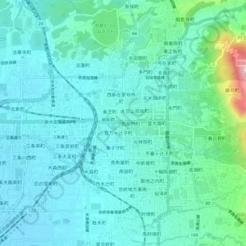
Name: 高天町 topographic map, elevation, terrain.
Location: 高天町, 奈良市, 奈良県/奈良縣, 630-8247, 日本 (34.66410 135.80593 34.70410 135.84593)
Average elevation: 95 m
Minimum elevation: 55 m
Maximum elevation: 290 m