
白石山 topographic map
Interactive map
Click on the map to display elevation.
About this map
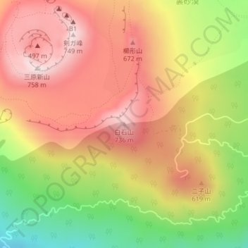
Name: 白石山 topographic map, elevation, terrain.
Location: 白石山, 东京都/東京都, 日本 (34.71841 139.40594 34.71851 139.40604)
Average elevation: 525 m
Minimum elevation: 226 m
Maximum elevation: 746 m
Other topographic maps
Click on a map to view its topography, its elevation and its terrain.