
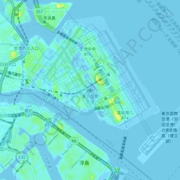
东京国际机场 topographic map
Interactive map
Click on the map to display elevation.
About this map
Name: 东京国际机场 topographic map, elevation, terrain.
Location: 东京国际机场, 羽田空港二丁目, 东京都/東京都, 日本 (35.52095 139.75206 35.57045 139.82599)
Average elevation: 2 m
Minimum elevation: -11 m
Maximum elevation: 27 m
Other topographic maps
Click on a map to view its topography, its elevation and its terrain.