
嫁島 topographic map
Interactive map
Click on the map to display elevation.
About this map
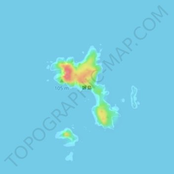
Name: 嫁島 topographic map, elevation, terrain.
Location: 嫁島, 小笠原村, 小笠原支厅 / 小笠原支廳, 东京都/東京都, 日本 (27.48933 142.20386 27.50227 142.21627)
Average elevation: 2 m
Minimum elevation: -2 m
Maximum elevation: 80 m