
東白雲山 topographic map
Interactive map
Click on the map to display elevation.
About this map
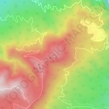
Name: 東白雲山 topographic map, elevation, terrain.
Location: 東白雲山, 东京都/東京都, 日本 (33.10092 139.82994 33.10102 139.83004)
Average elevation: 392 m
Minimum elevation: 42 m
Maximum elevation: 682 m
Other topographic maps
Click on a map to view its topography, its elevation and its terrain.