
娄东街道 topographic map
Interactive map
Click on the map to display elevation.
About this map
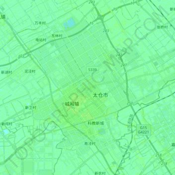
Name: 娄东街道 topographic map, elevation, terrain.
Location: 娄东街道, 太仓市, 苏州市, 江苏省, 中国 (31.39538 121.09132 31.53376 121.23083)
Average elevation: 4 m
Minimum elevation: 0 m
Maximum elevation: 7 m
Other topographic maps
Click on a map to view its topography, its elevation and its terrain.