
浏河镇 topographic map
Interactive map
Click on the map to display elevation.
About this map
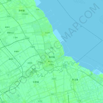
Name: 浏河镇 topographic map, elevation, terrain.
Location: 浏河镇, 太仓市, 苏州市, 江苏省, 中国 (31.47890 121.15841 31.57350 121.38225)
Average elevation: 3 m
Minimum elevation: -1 m
Maximum elevation: 8 m