
天镜湖 topographic map
Interactive map
Click on the map to display elevation.
About this map
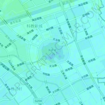
Name: 天镜湖 topographic map, elevation, terrain.
Location: 天镜湖, 娄东街道, 太仓市, 苏州市, 江苏省, 中国 (31.42699 121.12419 31.43240 121.13127)
Average elevation: 4 m
Minimum elevation: 2 m
Maximum elevation: 7 m