
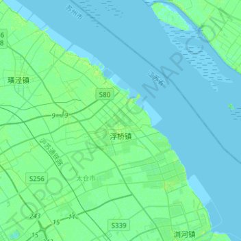
浮桥镇 topographic map
Interactive map
Click on the map to display elevation.
About this map
Name: 浮桥镇 topographic map, elevation, terrain.
Location: 浮桥镇, 太仓市, 苏州市, 江苏省, 中国 (31.52749 121.09078 31.70395 121.33811)
Average elevation: 2 m
Minimum elevation: -2 m
Maximum elevation: 8 m
Other topographic maps
Click on a map to view its topography, its elevation and its terrain.