
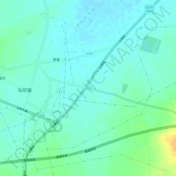
沙坝 topographic map
Interactive map
Click on the map to display elevation.
About this map
Name: 沙坝 topographic map, elevation, terrain.
Location: 沙坝, 淮安市, 江苏省, 中国 (32.95433 118.77423 32.99433 118.81423)
Average elevation: 24 m
Minimum elevation: 16 m
Maximum elevation: 45 m
Other topographic maps
Click on a map to view its topography, its elevation and its terrain.