
洪泽区 topographic map
Interactive map
Click on the map to display elevation.
About this map
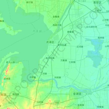
Name: 洪泽区 topographic map, elevation, terrain.
Location: 洪泽区, 淮安市, 江苏省, 223100, 中国 (33.04831 118.46900 33.40209 119.15881)
Average elevation: 13 m
Minimum elevation: 2 m
Maximum elevation: 88 m
Other topographic maps
Click on a map to view its topography, its elevation and its terrain.