
三隈山 topographic map
Interactive map
Click on the map to display elevation.
About this map
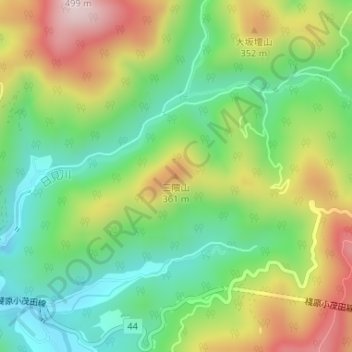
Name: 三隈山 topographic map, elevation, terrain.
Location: 三隈山, 对马市, 长崎县, 日本 (34.23227 129.24762 34.23237 129.24772)
Average elevation: 202 m
Minimum elevation: 23 m
Maximum elevation: 474 m
Other topographic maps
Click on a map to view its topography, its elevation and its terrain.