
Svalbard and Jan Mayen topographic map
Interactive map
Click on the map to display elevation.
About this map
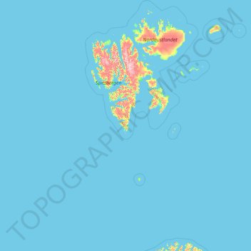
Name: Svalbard and Jan Mayen topographic map, elevation, terrain.
Location: Svalbard and Jan Mayen, 9170, Norway (70.62614 -9.68463 81.02802 34.68891)
Average elevation: 26 m
Minimum elevation: -1 m
Maximum elevation: 1,546 m
Other topographic maps
Click on a map to view its topography, its elevation and its terrain.
Li
Norway > Innlandet > Skammestein
Li, Skammestein, Øystre Slidre, Innlandet, 2950, Norway
Average elevation: 774 m
Finnmark
Finnmark, Bamble, Vestfold og Telemark, 3967, Norway
Average elevation: 38 m
Vrådal
Vrådal, Kviteseid, Vestfold og Telemark, 3853, Norway
Average elevation: 433 m
Láhpoluoppal
Láhpoluoppal, Kautokeino, Troms og Finnmark, Norway
Average elevation: 347 m