
Skjeberg topographic map
Interactive map
Click on the map to display elevation.
About this map
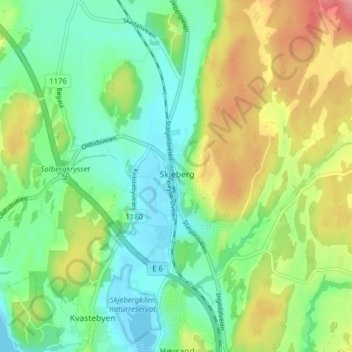
Name: Skjeberg topographic map, elevation, terrain.
Location: Skjeberg, Sarpsborg, Viken, 1746, Norway (59.19148 11.17025 59.23148 11.21025)
Average elevation: 34 m
Minimum elevation: -1 m
Maximum elevation: 94 m