
Vortvet topographic map
Interactive map
Click on the map to display elevation.
About this map
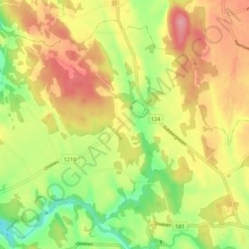
Name: Vortvet topographic map, elevation, terrain.
Location: Vortvet, Rakkestad, Østfold, Norway (59.43349 11.25760 59.47349 11.29760)
Average elevation: 103 m
Minimum elevation: 44 m
Maximum elevation: 157 m