
Láhpoluoppal topographic map
Interactive map
Click on the map to display elevation.
About this map
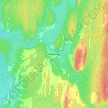
Name: Láhpoluoppal topographic map, elevation, terrain.
Location: Láhpoluoppal, Kautokeino, Troms og Finnmark, Norway (69.18880 23.74086 69.22880 23.78086)
Average elevation: 347 m
Minimum elevation: 312 m
Maximum elevation: 400 m
Other topographic maps
Click on a map to view its topography, its elevation and its terrain.