
Kuala Lumpur International Airport topographic map
Interactive map
Click on the map to display elevation.
About this map
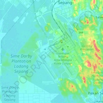
Name: Kuala Lumpur International Airport topographic map, elevation, terrain.
Location: Kuala Lumpur International Airport, Selangor, 64000, Malaysia (2.67992 101.63308 2.80350 101.74904)
Average elevation: 13 m
Minimum elevation: -1 m
Maximum elevation: 88 m
Other topographic maps
Click on a map to view its topography, its elevation and its terrain.