
Langat River (bypass) topographic map
Interactive map
Click on the map to display elevation.
About this map
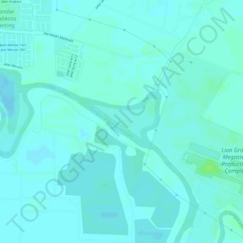
Name: Langat River (bypass) topographic map, elevation, terrain.
Location: Langat River (bypass), Kuala Langat, Selangor, Malaysia (2.81228 101.57630 2.81717 101.58353)
Average elevation: 4 m
Minimum elevation: 1 m
Maximum elevation: 11 m
Other topographic maps
Click on a map to view its topography, its elevation and its terrain.