Washington topographic maps
Click on a map to view its topography, its elevation and its terrain.


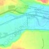
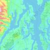
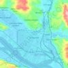
Longview
United States > Washington > Cowlitz County
Longview is located in a small gorge, so its climate varies from that of its close neighbor, Portland. Longview is generally about 7 °F (4 °C) cooler than Portland. Located about 80 miles (130 km) inland across a stretch of relatively flat ground, the Longview skies can be overcast due to moisture from the…
Average elevation: 50 m


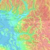
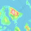
Orcas Island
United States > Washington > San Juan County > Eastsound
Orcas Island presents one of the most dramatic relief profiles in Washington’s San Juan Islands, rising abruptly from the sheltered waters of the Salish Sea to the summit of Mount Constitution, the archipelago’s highest point at about 2,409 feet (734 m). Its topography is strongly organized around steep,…
Average elevation: 59 m
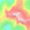
Mount Olympus
United States > Washington > Jefferson County
With notable local relief, Mount Olympus ascends over 2,100 m (6,900 ft) from the 293 m (961 ft) elevation confluence of the Hoh River with Glacier Creek in only 8.8 km (5.5 mi). Mount Olympus has 2,386 m (7,828 ft) of prominence, ranking 5th in the state of Washington.
Average elevation: 1,934 m
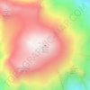
Mount Rainier
United States > Washington > Pierce County
Mount Rainier (/reɪˈnɪər/ ray-NEER), also known as Tahoma, is a large active stratovolcano in the Cascade Range of the Pacific Northwest in the United States. The mountain is located in Mount Rainier National Park about 59 miles (95 km) south-southeast of Seattle. With a summit elevation of 14,399.6 ft…
Average elevation: 3,912 m
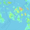
San Juan County
San Juan County is a cluster of more than 400 islands and rocks with elevations above mean high tide. 134 of these islands and rocks are named. The county has a rugged, rocky shoreline and several mountains. The highest point in the county is Mount Constitution on Orcas Island at 2,407 feet (734 m) above sea…
Average elevation: 20 m