
Spokane Valley topographic map
Interactive map
Click on the map to display elevation.
About this map
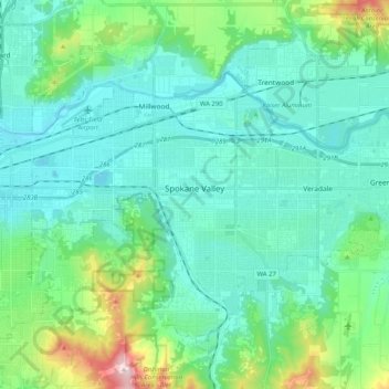
Name: Spokane Valley topographic map, elevation, terrain.
Location: Spokane Valley, Spokane County, Washington, United States (47.59981 -117.34699 47.70988 -117.14277)
Average elevation: 673 m
Minimum elevation: 573 m
Maximum elevation: 1,116 m