
大尾山 topographic map
Interactive map
Click on the map to display elevation.
About this map
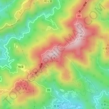
Name: 大尾山 topographic map, elevation, terrain.
Location: 大尾山, 掛川市, 静冈县, 日本 (34.89153 138.01473 34.89163 138.01483)
Average elevation: 410 m
Minimum elevation: 187 m
Maximum elevation: 658 m
Other topographic maps
Click on a map to view its topography, its elevation and its terrain.