
下中 topographic map
Interactive map
Click on the map to display elevation.
About this map
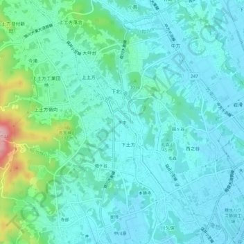
Name: 下中 topographic map, elevation, terrain.
Location: 下中, 掛川市, 静冈县/靜岡縣, 中部地方, 437-1405, 日本 (34.67937 138.02698 34.71937 138.06698)
Average elevation: 39 m
Minimum elevation: 4 m
Maximum elevation: 200 m
Other topographic maps
Click on a map to view its topography, its elevation and its terrain.