
山鼻 topographic map
Interactive map
Click on the map to display elevation.
About this map
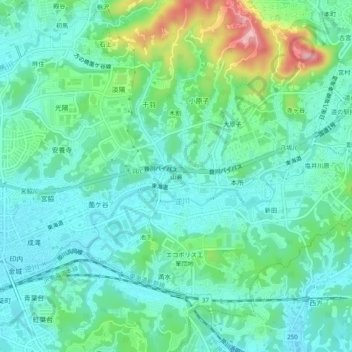
Name: 山鼻 topographic map, elevation, terrain.
Location: 山鼻, 掛川市, 静冈县/靜岡縣, 436-0341, 日本 (34.76546 138.03201 34.80546 138.07201)
Average elevation: 65 m
Minimum elevation: 26 m
Maximum elevation: 187 m
Other topographic maps
Click on a map to view its topography, its elevation and its terrain.