
东区 topographic map
Interactive map
Click on the map to display elevation.
About this map
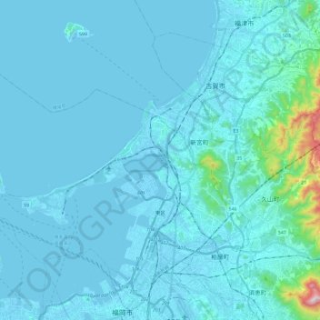
Name: 东区 topographic map, elevation, terrain.
Location: 东区, 福冈市, 福冈县, 日本 (33.60593 130.26004 33.75926 130.49490)
Average elevation: 40 m
Minimum elevation: -6 m
Maximum elevation: 664 m
Other topographic maps
Click on a map to view its topography, its elevation and its terrain.