
博多駅中央街 topographic map
Interactive map
Click on the map to display elevation.
About this map
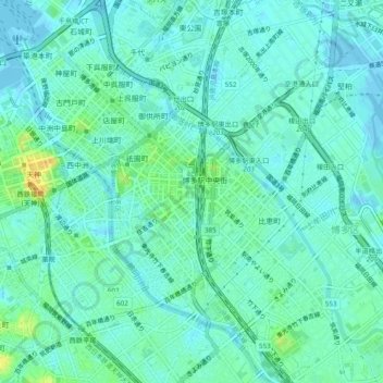
Name: 博多駅中央街 topographic map, elevation, terrain.
Location: 博多駅中央街, 博多区, 福冈市, 福冈县, 812-0012, 日本 (33.56841 130.39970 33.60841 130.43970)
Average elevation: 7 m
Minimum elevation: -4 m
Maximum elevation: 29 m