
The Rectory topographic map
Interactive map
Click on the map to display elevation.
About this map
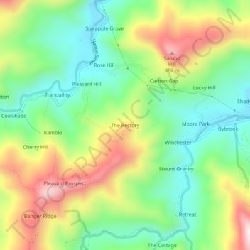
Name: The Rectory topographic map, elevation, terrain.
Location: The Rectory, Portland, Surrey County, Jamaica (18.16102 -76.68983 18.20102 -76.64983)
Average elevation: 293 m
Minimum elevation: 67 m
Maximum elevation: 644 m
Other topographic maps
Click on a map to view its topography, its elevation and its terrain.