
Orange Vale topographic map
Interactive map
Click on the map to display elevation.
About this map
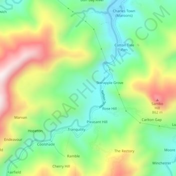
Name: Orange Vale topographic map, elevation, terrain.
Location: Orange Vale, Portland, Surrey County, Jamaica (18.17531 -76.69850 18.21531 -76.65850)
Average elevation: 288 m
Minimum elevation: 38 m
Maximum elevation: 689 m
Other topographic maps
Click on a map to view its topography, its elevation and its terrain.