
Lincoln topographic map
Interactive map
Click on the map to display elevation.
About this map
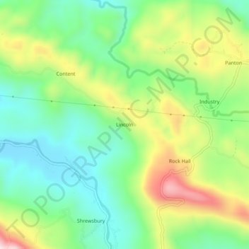
Name: Lincoln topographic map, elevation, terrain.
Location: Lincoln, Portland, Surrey County, Jamaica (18.15028 -76.56497 18.19028 -76.52497)
Average elevation: 219 m
Minimum elevation: 51 m
Maximum elevation: 509 m
Other topographic maps
Click on a map to view its topography, its elevation and its terrain.