
十津川村 topographic map
Interactive map
Click on the map to display elevation.
About this map
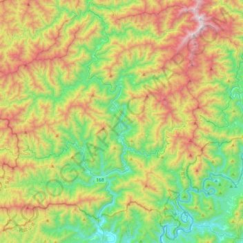
Name: 十津川村 topographic map, elevation, terrain.
Location: 十津川村, 吉野郡, 奈良縣, 637-1333, 日本 (33.85896 135.55132 34.15329 135.91603)
Average elevation: 673 m
Minimum elevation: 28 m
Maximum elevation: 1,767 m
Other topographic maps
Click on a map to view its topography, its elevation and its terrain.