
大谷川 topographic map
Interactive map
Click on the map to display elevation.
About this map
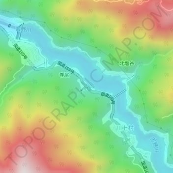
Name: 大谷川 topographic map, elevation, terrain.
Location: 大谷川, 寺尾, 川上村, 吉野郡, 奈良縣, 639-3594, 日本 (34.34339 135.94547 34.34596 135.94906)
Average elevation: 545 m
Minimum elevation: 238 m
Maximum elevation: 1,054 m