
東吉野村 topographic map
Interactive map
Click on the map to display elevation.
About this map
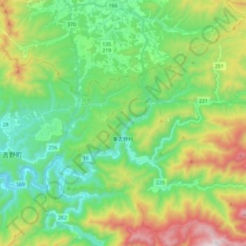
Name: 東吉野村 topographic map, elevation, terrain.
Location: 東吉野村, 吉野郡, 奈良縣, 日本 (34.34379 135.93645 34.47989 136.09613)
Average elevation: 517 m
Minimum elevation: 159 m
Maximum elevation: 1,290 m
Other topographic maps
Click on a map to view its topography, its elevation and its terrain.