
権堂町 topographic map
Interactive map
Click on the map to display elevation.
About this map
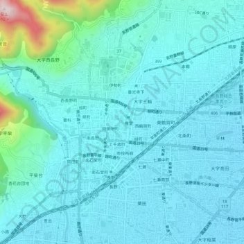
Name: 権堂町 topographic map, elevation, terrain.
Location: 権堂町, 長野市, 长野县, 380-8612, 日本 (36.63237 138.17066 36.67237 138.21066)
Average elevation: 402 m
Minimum elevation: 346 m
Maximum elevation: 790 m
Other topographic maps
Click on a map to view its topography, its elevation and its terrain.