
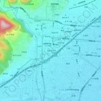
南石堂町 topographic map
Interactive map
Click on the map to display elevation.
About this map
Name: 南石堂町 topographic map, elevation, terrain.
Location: 南石堂町, 長野市, 长野县, 中部地方, 380-0824, 日本 (36.62426 138.16610 36.66426 138.20610)
Average elevation: 389 m
Minimum elevation: 343 m
Maximum elevation: 762 m
Other topographic maps
Click on a map to view its topography, its elevation and its terrain.