
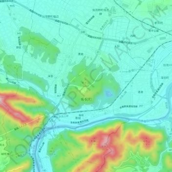
坂祝町 topographic map
Interactive map
Click on the map to display elevation.
About this map
Name: 坂祝町 topographic map, elevation, terrain.
Location: 坂祝町, 加茂郡, 岐阜县, 中部地方, 505-8501, 日本 (35.41412 136.94852 35.45286 137.00698)
Average elevation: 108 m
Minimum elevation: 34 m
Maximum elevation: 339 m
Other topographic maps
Click on a map to view its topography, its elevation and its terrain.