
荒川 topographic map
Interactive map
Click on the map to display elevation.
About this map
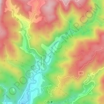
Name: 荒川 topographic map, elevation, terrain.
Location: 荒川, 八百津町, 加茂郡, 岐阜县, 中部地方, 505-0301, 日本 (35.49120 137.14602 35.50254 137.15674)
Average elevation: 321 m
Minimum elevation: 120 m
Maximum elevation: 509 m