
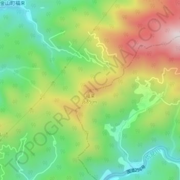
福来 topographic map
Interactive map
Click on the map to display elevation.
About this map
Name: 福来 topographic map, elevation, terrain.
Location: 福来, 白川町, 加茂郡, 岐阜县, 中部地方, 509-1616, 日本 (35.67077 137.19577 35.67087 137.19587)
Average elevation: 520 m
Minimum elevation: 282 m
Maximum elevation: 860 m