
Møre og Romsdal topographic map
Interactive map
Click on the map to display elevation.
About this map
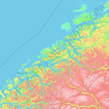
Name: Møre og Romsdal topographic map, elevation, terrain.
Location: Møre og Romsdal, Norway (61.92334 4.81660 63.76817 9.36483)
Average elevation: 388 m
Minimum elevation: -2 m
Maximum elevation: 2,213 m
Other topographic maps
Click on a map to view its topography, its elevation and its terrain.