
Vinje topographic map
Interactive map
Click on the map to display elevation.
About this map
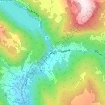
Name: Vinje topographic map, elevation, terrain.
Location: Vinje, Voss, Vestland, 5713, Norway (60.77185 6.48851 60.81185 6.52851)
Average elevation: 454 m
Minimum elevation: 182 m
Maximum elevation: 962 m
Other topographic maps
Click on a map to view its topography, its elevation and its terrain.