
伯耆町 topographic map
Interactive map
Click on the map to display elevation.
About this map
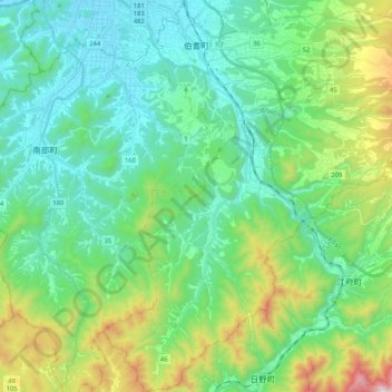
Name: 伯耆町 topographic map, elevation, terrain.
Location: 伯耆町, 西伯郡, 鸟取县, 日本 (35.23493 133.35808 35.40489 133.52749)
Average elevation: 274 m
Minimum elevation: 9 m
Maximum elevation: 1,100 m
Other topographic maps
Click on a map to view its topography, its elevation and its terrain.