
南部町 topographic map
Interactive map
Click on the map to display elevation.
About this map
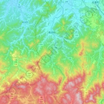
Name: 南部町 topographic map, elevation, terrain.
Location: 南部町, 西伯郡, 鸟取县, 日本 (35.23216 133.29250 35.38867 133.42783)
Average elevation: 241 m
Minimum elevation: 7 m
Maximum elevation: 713 m
Other topographic maps
Click on a map to view its topography, its elevation and its terrain.