
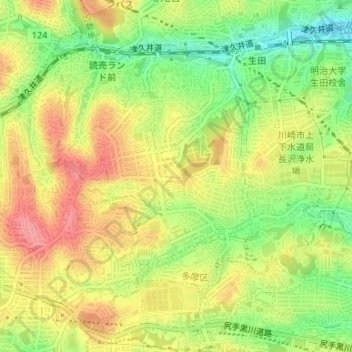
南生田 topographic map
Interactive map
Click on the map to display elevation.
About this map
Name: 南生田 topographic map, elevation, terrain.
Location: 南生田, 多摩区, 川崎市, 神奈川縣, 214-0036, 日本 (35.59834 139.52548 35.61191 139.54170)
Average elevation: 76 m
Minimum elevation: 28 m
Maximum elevation: 119 m
Other topographic maps
Click on a map to view its topography, its elevation and its terrain.