
حي الخضراء topographic map
Interactive map
Click on the map to display elevation.
About this map
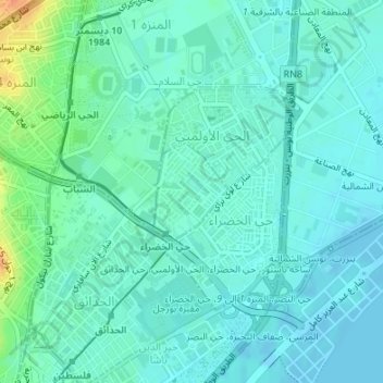
Name: حي الخضراء topographic map, elevation, terrain.
Location: حي الخضراء, معتمدية حي الخضراء, Tunis, Tunisia (36.82866 10.18933 36.83569 10.19601)
Average elevation: 9 m
Minimum elevation: -4 m
Maximum elevation: 41 m
Other topographic maps
Click on a map to view its topography, its elevation and its terrain.