
Drøbak topographic map
Interactive map
Click on the map to display elevation.
About this map
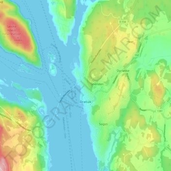
Name: Drøbak topographic map, elevation, terrain.
Location: Drøbak, Frogn, Viken, Norway (59.63940 10.60099 59.69832 10.67263)
Average elevation: 70 m
Minimum elevation: -1 m
Maximum elevation: 255 m
Other topographic maps
Click on a map to view its topography, its elevation and its terrain.