
Ørje topographic map
Interactive map
Click on the map to display elevation.
About this map
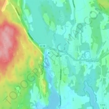
Name: Ørje topographic map, elevation, terrain.
Location: Ørje, Marker, Viken, 1870, Norway (59.46023 11.64016 59.50023 11.68016)
Average elevation: 144 m
Minimum elevation: 108 m
Maximum elevation: 257 m
Other topographic maps
Click on a map to view its topography, its elevation and its terrain.