
上川町 topographic map
Interactive map
Click on the map to display elevation.
About this map
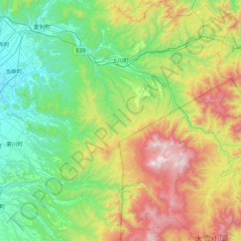
Name: 上川町 topographic map, elevation, terrain.
Location: 上川町, 上川郡(石狩國), 上川綜合振興局, 北海道, 日本 (43.52623 142.68142 43.95312 143.17972)
Average elevation: 754 m
Minimum elevation: 134 m
Maximum elevation: 2,270 m
Other topographic maps
Click on a map to view its topography, its elevation and its terrain.