
大雪山 topographic map
Interactive map
Click on the map to display elevation.
About this map
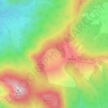
Name: 大雪山 topographic map, elevation, terrain.
Location: 大雪山, 東川町, 上川郡(石狩國), 上川綜合振興局, 北海道, 日本 (43.67246 142.86646 43.67256 142.86656)
Average elevation: 1,990 m
Minimum elevation: 1,718 m
Maximum elevation: 2,285 m