
比布町 topographic map
Interactive map
Click on the map to display elevation.
About this map
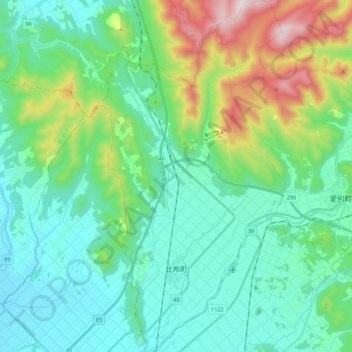
Name: 比布町 topographic map, elevation, terrain.
Location: 比布町, 上川郡(石狩國), 上川綜合振興局, 北海道, 078-0349, 日本 (43.83887 142.43208 43.99374 142.54397)
Average elevation: 284 m
Minimum elevation: 118 m
Maximum elevation: 829 m