

East Sussex topographic maps
Click on a map to view its topography, its elevation and its terrain.
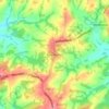
Furner's Green
United Kingdom > England > East Sussex > Wealden District > Danehill > Furner's Green
Average elevation: 62 m





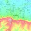

East Chiltington
United Kingdom > England > East Sussex > Lewes > East Chiltington
Average elevation: 49 m

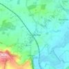


Ditchling Beacon
United Kingdom > England > East Sussex > Lewes
Ditchling Beacon is the highest point in East Sussex, England, with an elevation of 248 m (814 ft). It is south of Ditchling and to the north-east of Brighton. It is a large chalk hill with a particularly steep northern face, covered with open grassland and sheep-grazing areas. It is the third-highest point on…
Average elevation: 144 m


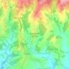



Wick Street
United Kingdom > England > East Sussex > Lewes > Firle > Wick Street
Average elevation: 36 m



John's Cross
United Kingdom > England > East Sussex > Rother > Mountfield > John's Cross
Average elevation: 53 m





Best Beech Hill
United Kingdom > England > East Sussex > Wealden > Best Beech Hill
Average elevation: 120 m


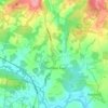
Sheffield Green
United Kingdom > England > East Sussex > Wealden > Sheffield Park
Average elevation: 50 m
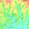
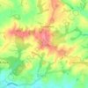

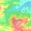







Chuck Hatch
United Kingdom > England > East Sussex > Wealden > Upper Hartfield
Average elevation: 112 m


Union Street
United Kingdom > England > East Sussex > Rother > Flimwell > Union Street
Average elevation: 97 m

Old Heathfield
United Kingdom > England > East Sussex > Wealden > Cade Street
Average elevation: 119 m