
Santa Maria topographic map
Interactive map
Click on the map to display elevation.
About this map
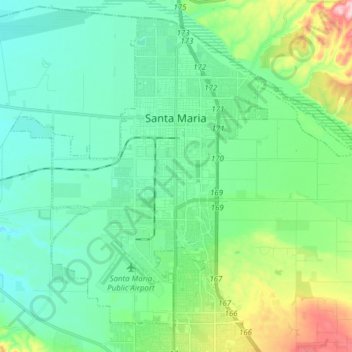
Name: Santa Maria topographic map, elevation, terrain.
Average elevation: 86 m
Minimum elevation: 30 m
Maximum elevation: 271 m
Other topographic maps
Click on a map to view its topography, its elevation and its terrain.
Channel Islands
United States > California > Santa Barbara County
Channel Islands, Santa Barbara County, CAL Fire Southern Region, California, 90704, United States
Average elevation: 4 m