
西會津町 topographic map
Interactive map
Click on the map to display elevation.
About this map
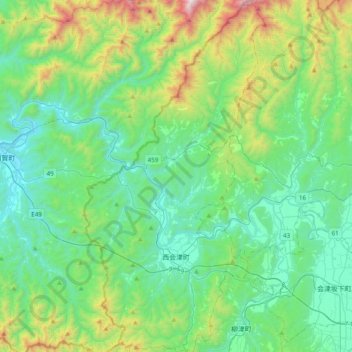
Name: 西會津町 topographic map, elevation, terrain.
Location: 西會津町, 耶麻郡, 福岛县, 日本 (37.50548 139.54600 37.81224 139.74572)
Average elevation: 430 m
Minimum elevation: 50 m
Maximum elevation: 1,758 m
Other topographic maps
Click on a map to view its topography, its elevation and its terrain.